PHOTO
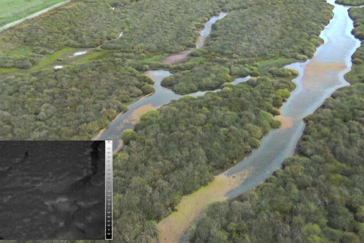
USING high resolution thermal imagery for surveying vertebrate pest populations has been evaluated by Riverina Local Land Services at Hay, Balranald and Booligal.
The project considered the different landscapes, affordability, and analysis method, with two cameras – a Vayu HD–Gen 2 and Panasonic GH5 4K resolution video operating at 60 frames a second – mounted to the side of a helicopter flying at a height of 272 feet and speed of 30 to 50 knots.
The Vayu full high density, long wave uncooled thermal imager records at 60 frames a second.
With the resolution, the Panasonic's 25mm wide angle lens and high frame rate is able to capture a large field of view yet maintain enough definition to easily detect and identify the target species in a broad search area.
Riverina Local Land Services Senior Biosecurity Officer Suzie Holbery said private consultants were available to analyse the data and it was important to have a clear method for this analysis, and that it was repeated each survey.
"For example, decisions need to be made on the distances which you will accept for identifiable targets," she said.
"Animals observed beyond 200 metres may be outside the sample area.
"Experts in animal surveys and limitations of the equipment will be able to guide you on making these decisions.
"There is software available that has been designed to detect species, alternatively you can use trained observers to review the footage and make a determination as to the species."
Ms Holbery said using a thermal survey for monitoring has been incredibly valuable to the project, providing density data for reporting back to funding partners that their investment had been successful.
"The results also provide the evidence we are often looking for to prove to stakeholders the issues we have encountered and the distribution of the pests," she said.
"The population of your target species needs to be considered high in order to get meaningful results from the survey.
"For this reason, the location of the survey should be conducted at sites where the density is predicted to be highest from the information you already have.
"Thermal surveys require very cool overcast weather, limiting them to the winter months."
Rocky landscapes can retain heat from sun exposure during the day which can affect the ability to detect animals in the landscape.
For most parts of Australia, July/August is the best time and generally suitable conditions are achieved just after sunrise and before sunset (helicopters are routinely not allowed to fly at night).
Fixed wing aircraft, although cheaper to run, travel at speeds too fast for effective operation of the equipment.
Unmanned aircraft/drones are an alternative provided the barrier of operating within line of sight can be overcome.
"Special approval can be sought from CASA (Civil Aviation Safety Authority) if the location is deemed remote.
"For the surveys I have implemented at Hay, NSW, using a helicopter was the best option," Ms Holbery said.
The NSW Vertebrate Pest Research Unit supported the thermal imaging project by providing technical advice on strategic pest animal management, research outcomes, eg GPS collaring, animal ethics approval, and survey design and analysis advice.

